
Beureukaih:Philippines location map (Mindanao).svg

Ukuran pratayang PNG ini dari berkas SVG ini: 656 × 486 piksel Resolusi la'én: 320 × 237 piksel | 640 × 474 piksel | 1.024 × 759 piksel | 1.280 × 948 piksel | 2.560 × 1.897 piksel.
Beureukaih aseuli (Beureukah SVG, nominal 656 x 486 piksel, rayek beureukah: 3,66 MB)
.svg)
Ehtisa
| Hareutoë |
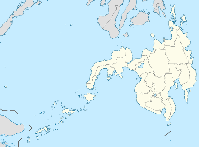
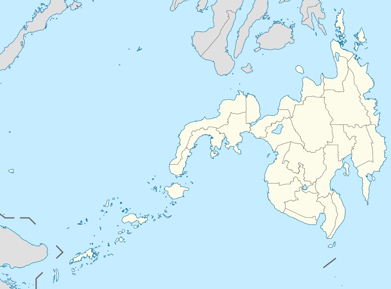
English: Location map of the Philippines (Mindanao)
Equirectangular projection based on the parallel of 10°43' N
|
| Uroë buleuën | |
| Asai | File:Philippines location map (square).svg |
| Ureuëng peugöt | User:Hellerick |
| Versi lainnya |
This file was derived from: Philippines location map (square).svg: .svg) |
Jeunèh lisensi
beureukaih nyoe geulisènsi ngön lisènsi Creative Commons Attribution-Share Alike 3.0 Unported.
- Droeneuh geubri idin keu:
- ngui sajan – seumalén, seumipreuek ngön pumeuét buet
- peugöt ulang – ngui keulayi gamba
- Meunurôt syarat di yup nyoe:
- atribusi – Droeneuh peureulèe neutuléh asai karya nyoe lagèe nyang geupeuteuntèe lé ureueng tuléh atawa ureueng po hak (tapi kön ngön meukeusud keuneuk promosi karya ureueng nyan).
- weuëk saban – Apabila Anda menggubah, mengubah, atau membuat turunan dari materi ini, Anda harus menyebarluaskan kontribusi Anda di bawah lisensi yang sama seperti lisensi pada materi asli.
Riwayat beureukaih
Neuteugon bak uroe buleuen/watèe keu neu-eu beureukaih nyoe ‘oh watèe nyan.
| Uroe buleuen/Watèe | Beuntuk ubeut | Dimènsi | Ureueng ngui | Beunalaih | |
|---|---|---|---|---|---|
| jinoë hat | 17 Buleuen Limöng 2021 14.11 | | 656 × 486 (3,66 MB) | Petriolo | Reverted to version as of 05:35, 3 May 2021 (UTC) The new administrative borders are based from the Philippine government websites (https://www.geoportal.gov.ph/; http://noah.up.edu.ph/), and is deemed accurate. These new files have reliable sources and there's no "beauty" in it if it is inaccurate in the first place. |
| 16 Buleuen Limöng 2021 21.02 |  | 656 × 486 (2,22 MB) | AichiWikiFixer | Reverted to version as of 14:34, 27 October 2017 (UTC) (Borders seen as ugly) | |
| 3 Buleuen Limöng 2021 12.35 |  | 656 × 486 (3,66 MB) | Petriolo | updated with NAMRIA borders | |
| 27 Buleuen Siplôh 2017 21.34 |  | 656 × 486 (2,22 MB) | Mliu92 | Changed crop to add missing island. | |
| 27 Buleuen Siplôh 2017 00.23 |  | 573 × 573 (2,22 MB) | Mliu92 | User created page with UploadWizard |
Seuneungui beureukaih
Hana laman nyang na meupawôt u beureukaih nyoe.
Neungui beureukaih global
Wiki laén di yup nyoe geungui beureukaih nyoe:
- Seuneungui bak azb.wikipedia.org
- Seuneungui bak en.wikipedia.org
- Xavier University – Ateneo de Cagayan
- Moro Gulf
- Mindanao State University
- Ateneo de Davao University
- Francisco Bangoy International Airport
- Agusan del Sur State University
- Zamboanga International Airport
- Dipolog Airport
- Laguindingan Airport
- General Santos International Airport
- Cotabato Airport
- Pagadian Airport
- Surigao Airport
- Bancasi Airport
- Sanga-Sanga Airport
- Sayak Airport
- Bukidnon State University
- Mindanao State University–Iligan Institute of Technology
- La Salle University (Ozamiz)
- Mountain View College (Philippines)
- De La Salle John Bosco College
- Central Mindanao University
- University of the Philippines Mindanao
- Iligan Medical Center College
- Camiguin Airport
- Jolo Airport
- Labo Airport
- Father Saturnino Urios University
- Notre Dame of Marbel University
- Notre Dame of Dadiangas University
- Caraga State University – Cabadbaran Campus
- Fort Pilar
- Mindanao State University–Naawan
- University of Science and Technology of Southern Philippines
- Liceo de Cagayan University
- Cagayan de Oro College
- Misamis University
- San Pedro College
- University of the Immaculate Conception
- Assumption College of Davao
- Basilan State College
- 1976 Moro Gulf earthquake
- St. Michael's College (Iligan)
- University of Mindanao
- Saint Michael College of Caraga
- Colegio de Kidapawan
- List of Philippine Basketball Association playing venues
- Holy Cross of Davao College
- San Agustin Institute of Technology
Eu leubèh le neungui ban dum nibak beureukaih nyoe.
.svg)
.svg)