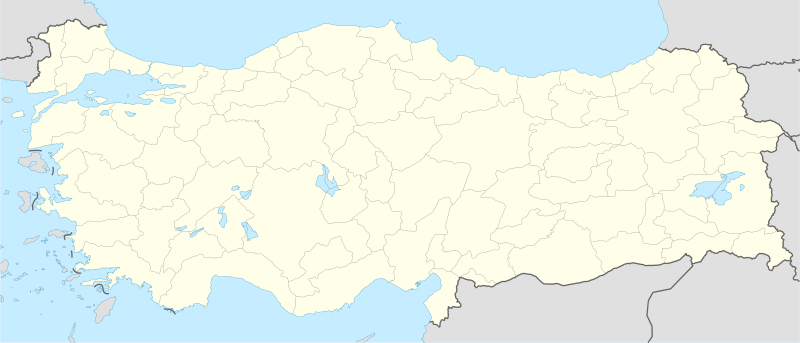
Beureukaih:Turkey location map.svg

Ukuran pratayang PNG ini dari berkas SVG ini: 800 × 343 piksel Resolusi la'én: 320 × 137 piksel | 640 × 274 piksel | 1.024 × 439 piksel | 1.280 × 549 piksel | 2.560 × 1.098 piksel | 1.579 × 677 piksel.
Beureukaih aseuli (Beureukah SVG, nominal 1.579 x 677 piksel, rayek beureukah: 976 KB)
Riwayat beureukaih
Neuteugon bak uroe buleuen/watèe keu neu-eu beureukaih nyoe ‘oh watèe nyan.
| Uroe buleuen/Watèe | Beuntuk ubeut | Dimènsi | Ureueng ngui | Beunalaih | |
|---|---|---|---|---|---|
| jinoë hat | 30 Buleuen Peuet 2012 15.15 |  | 1.579 × 677 (976 KB) | NordNordWest | Reverted to version as of 19:49, 19 July 2008, updates by The Emirr destroyed the templates which use this map |
| 30 Buleuen Peuet 2012 15.15 |  | 1.579 × 677 (976 KB) | NordNordWest | Reverted to version as of 19:49, 19 July 2008, updates by The Emirr destroyed the templates which use this map | |
| 30 Buleuen Peuet 2012 00.00 |  | 1.900 × 823 (1,11 MB) | The Emirr | A river is added. | |
| 29 Buleuen Peuet 2012 23.53 |  | 1.900 × 823 (1,11 MB) | The Emirr | All borders and coasts are developed. Lakes and rivers are added. Completely new map. | |
| 29 Buleuen Peuet 2012 23.51 |  | 1.900 × 823 (1,11 MB) | The Emirr | All borders and coasts are developed. Lakes and rivers are added. Completely new map. | |
| 19 Buleuen Duwa Blah 2011 01.43 |  | 1.473 × 655 (10,77 MB) | The Emirr | The borders more official and realistic. | |
| 20 Buleuen Tujôh 2008 02.49 |  | 1.579 × 677 (976 KB) | NordNordWest | {{Information |Description= {{de|Positionskarte der Türkei}} Quadratische Plattkarte, N-S-Streckung 120 %. Geographische Begrenzung der Karte: * N: 42.5° N * S: 35.5° N * W: 25.4° O * O: 45.0° O {{en|Location map of [[:en:Turkey|Turke |
Seuneungui beureukaih
laman di yup nyoe mupawôt u beureukaih nyoe:
Neungui beureukaih global
Wiki laén di yup nyoe geungui beureukaih nyoe:
- Seuneungui bak af.wikipedia.org
- Seuneungui bak als.wikipedia.org
- Seuneungui bak am.wikipedia.org
- Seuneungui bak ar.wikipedia.org
- مراد الثاني
- أفسس
- محمد الفاتح
- إسكي شهر
- غوبكلي تبه
- سميرنا
- دير مار كبرئيل
- دير مار أوكين
- دير الزعفران
- قالب:خريطة مواقع تركيا
- قائمة مدن تركيا
- كأس العالم لكرة السلة 2010
- كأس العالم تحت 20 سنة لكرة القدم 2013
- سارد
- كنائس آسيا السبع
- بيرغامون
- ثياتيرا
- قالب:كنائس آسيا السبع
- آلاشهر
- لاوديكيا
- الفتح الإسلامي لأرمينية
- خاتوشا
- قلعة داجلي
- شايونو
- تل طعينات
- كاراتبه
- كوموه
- دير الشهيد مار باسوس في حيدل
Eu leubèh le neungui ban dum nibak beureukaih nyoe.


